MAP PORTFOLIO
Transit
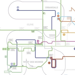
mapformation has worked with government agencies across two continents, producing everything from maps of bus routes, to street and highway maps, to train and LRT maps, using primarily Adobe Illustrator software.
Showing 1-10 of 10


