MAP PORTFOLIO
Implied Height
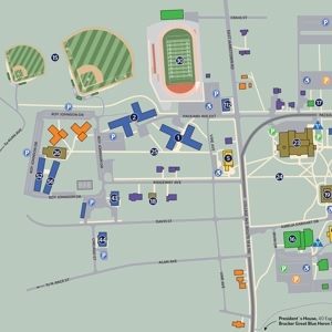
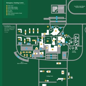
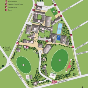
2D perspective campus maps with implied height are generally produced using Adobe Illustrator software. They are very similar to planimetric maps! But they take things one step further, using a combination of line and color to create the illusion of three dimensions from directly overhead. Great for clients looking for a "3D" look on a "2D" budget!
Showing 1-18 of 57


