MAP PORTFOLIO
Planimetric
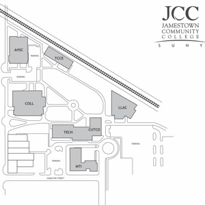
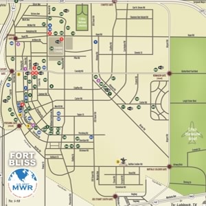
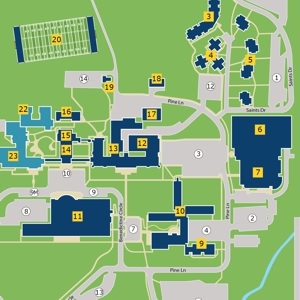
2D perspective planimetric campus maps are generally produced using Adobe Illustrator software. Also sometimes referred to as “overhead” maps, these images will show the footprints of buildings within a property boundary, as well as sidewalks, parking accommodations, nearby streets, and just about any other types of details that clients desire.
Showing 1-18 of 111


